Tuesday, October 24, 2017

Mobile Bay and Another Check on the Bucket List


October 18   

I didn’t imagine how elated I would feel upon reaching Mobile Bay, it really feels like an accomplishment.  It was exciting to see all the international traffic and to see dolphins for the first time, it felt like the complete opposite of the rivers.  So hard to believe that just a few miles separated us from the lazy bayous of the Mobile River and the commerce of Mobile Bay.  

Mobile River

Mobile Bay

This pelican posed for me!

We continued through the busy port to the channel which would take us to Dog River, where we spent a couple of nights at the Dog River Marina. They were still cleaning up after Hurricane Nate and had just finished repairing and cleaning the bath house, but there was still no laundry.  I was feeling kind of lazy anyway, so the thought of not doing laundry appealed to me.  
If you look very closely you will see the tuft on this mallard's head.  He is the marina mascot.
Afro Duck

We meant some interesting people at the Marina.  We saw John and Susan the Canadian couple from Eagle Heart again as well as Douglas from Slow Roll.  We met a new couple, Joel and Donna from Windlassie.  They came into the Marina in May to have a stanchion repaired and had a mechanical while coming in that almost caused their sailboat to sink.  They were able to get the boat pulled from the water before she sank, but it sounds like it was a close call.  They have been anxiously waiting to get back on the water since then and it sounds like they will be leaving the marina next week.  Best of luck to them and we hope to see them in the Bahamas. We also met a nice gentleman who is planning to bring his sailboat home to Oregon.  Safe travels, Rick!

We left the Marina Friday morning to cross the bay and it was pretty rough.  It felt a little like we were back on Lake Superior as it was very choppy and I had a light case of seasickness.  
The famous Lulu's on the GICW

But all was forgotten when we pulled into Roberts Bayou (AKA Pirates Cover) in a beautiful protected (AKA a Hurricane hole) bay next to the Pirates Cove Bar, a popular spot for the locals.  There were some sailboats well tied up with bow and stern anchors that had obviously been there since Hurricane Nate.  We met a nice gentleman, John, who showed us how to navigate the narrow opening into the bayou.  Our first attempt ended up in a soft grounding, which we extricated ourselves from quite easily. 

Our next stop was another great anchorage near Fort McCree.  We walked the beach and saw a lot of dead jelly fish, great blue herons, pelicans and the remains of the battlements from Fort McCree.  The Pensacola Airbase is nearby and we were able to view the Blue Angels practicing which they do on Tuesdays.  November 10 the Blue Angels will be performing and this is a great spot for viewing. 

Next:  On to Pensacola where will become a sailboat once more.  Our mast awaits us at the shipyard~~~~~→

Sunday, October 22, 2017

Bayou Country and Rivers End

October 16 -17 

We left Kingfisher Marina and entered the Black Warrior Tombigbee, AKA BWTB for another beautiful day on the river.  We saw our first alligators today.  I saw one swimming and at first thought it was a log, but it was an alligator!  Bruce was busy up on the bow and I started screaming, 'Look at the alligator'!!!  I must have scared the poor alligator half to death because just as Bruce looked for it, he sank below the water.  Then Bruce saw one on the bank and just as I was trying to spot it, he decided to disappear into the water.
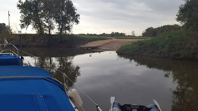
We anchored late that afternoon at Bashi Creek which is very narrow, you either must back in or back out.  We backed in with depths of 5-7 feet and anchored just past the boat ramp.  As there is no swing room we tied a stern line to a tree and had no problems, we barely moved at all.

               
The Boat Ramp
  
Stern tied off

After a short day on the river we stayed at Bobby's Fish Camp.  It was pretty quiet and only one other boat came in after us, the ICW Traveler.  The next morning was cold, only 49 degrees with smoky fog drifting up from the water.  We got right through our last lock, Coffeeville with no problems.

Image result for bobby's fish camp marina
Bobby's Fish Camp

 Waiting with ICW Traveler at Coffeeville Lock

Our last anchorage on the rivers at the Alabama River Cutoff

We are off to see the ocean~~~~~~~~~

Wednesday, October 18, 2017

Grounded!


October 9 - October 15      

I have heard it said it is not if you will ground but when, well we had our first grounding.  We have not a connection for the last couple of days and had to rely with only Skipper Bob.  We usually cross-check Skipper Bob with Active Captain.  We came into an ox bow at MM 331.3 staying close to the south shore as recommended when the ground came up and we couldn’t back fast enough.  None of our efforts, backing the boat, rocking the boat, nor pulling on a stern anchor could free us.  The Brittany Ann, a tow, was close and Bruce called and asked if they could assist.  The very nice tow captain agreed but said it would be about 30 minutes.  In the meantime a trawler came by and offered to assist.  He was able to pull us off without difficulty.  While the trawler was maneuvering Brittany Ann came back and stood by.  So there was a trawler looming over our stern and the tow standing by, I wish I could have got a picture.  It was a soft bottom and no apparent damage to the boat.  Thank you to the trawler, whose name we didn't get, and the Brittany Ann.  We went down to the second entrance of the ox bow at MM 329.2 and went down quite a ways to just past the railroad bridge.  It was a good anchorage and we set the anchor quickly. 
Anybody know what this structure is?  I imagined it to be Rapunzel’s tower with Rapunzel letting down her long hair for her prince.  I just love fairy tales. 

We were anchored in front of this structure

We came into Demopolis on October 15 and stayed at Kingfisher Marina.  Apparently the fuel dock is at the second (going downriver) marina which is the Demopolis Yacht Basin but our charts showed a second tucked away marina also called by the same name.  When we pulled in we asked a guy on the dock if we were at the right place.  He tried explaining and we were totally confused.  So let me try to explain for those coming behind.  The first entrance is the new marina called `Kingfisher Marina’ and contains slips and the second entrance, which is easier to see from the river, is the old marina which has the fuel dock, you can’t get fuel at the first entrance.  You can also get a slip assignment at the fuel dock.  My understanding is just the fuel dock is used in the old marina.  So we got fuel in the old marina and then went back to the first entrance to enter the Kingfisher Marina for our slip.  This marina also provides fuel for the tows and you will see the jettys in front of the fuel dock.  I hope this was clear, I am still a little confused, lol.  We did have a great stay there.  Anna-Marie keeps everything running at the slips and she was great!  If you need a courtesy car, go through her to schedule.  She also has a rock painting station in the lounge and likes to take pictures of people who paint or find a painted rock.  You may find my rock, I left it hidden on the dock.  It won’t be hard to identify, it says `Sea Hawk’.  I am not very creative but there were some well designed rocks that others created. 

Sea Hawk at Kingfisher Marina

This is me on provisioning day.
Please, there is no more room!

An early start

Beautiful scenery

More
The last:)

Have a great day!


Thursday, October 12, 2017

Blue Bluff Recreation Area and the Bukka White Blues Festival


October 5

What luck!!  We came into a beautiful anchorage at MM 358.1 and anchored just past the wooden jetty in front of the recreation area.  Unfortunately I lost most of my pictures during the transfer from phone to computer, so I will share what is left.

We noticed a lot of activity on shore and found out the Bukka White Blues Festival was setting up for the weekend.  We spent a wonderful night in the cockpit under the stars with the blues playing.  The artists were excellent and we thoroughly enjoyed the weekend.  Bukka White was a renown Blues player and was a cousin to BB King.  He gave BB his first guitar and taught him to play the blues. 

  
We went into Aberdeen, MS the next day which was about a 2 mile walk and had a birthday breakfast for Bruce.  Happy Birthday my love!  We ate at the Java Café and met some friendly people, Carol and George, to chat with.  The breakfast was very good and I would recommend it.  


Happy Birthday to the Captain
While in town we met Tashanda White who happens to be the great granddaughter of Bukka White. We also walked by the antebellum Adam French plantation home, a private residence.  Are you looking for a beautifully restored plantation?  It’s for sale by Dwight Stevens owner of the Stevens Auction Company. 

Image result for adam french plantation home in aberdeen ms

We stayed another day to wait out tropical storm Nate, but it shifted before reaching us and the forecasted heavy downpour and high winds did not materialize.  We got a little rain in the morning and then it turned out to be a partly sunny day, so we spent the day swimming and getting ready to leave in the morning.

Rolling down the river to the next beautiful anchorage~~~~~~~~~→
Sunday, October 8, 2017

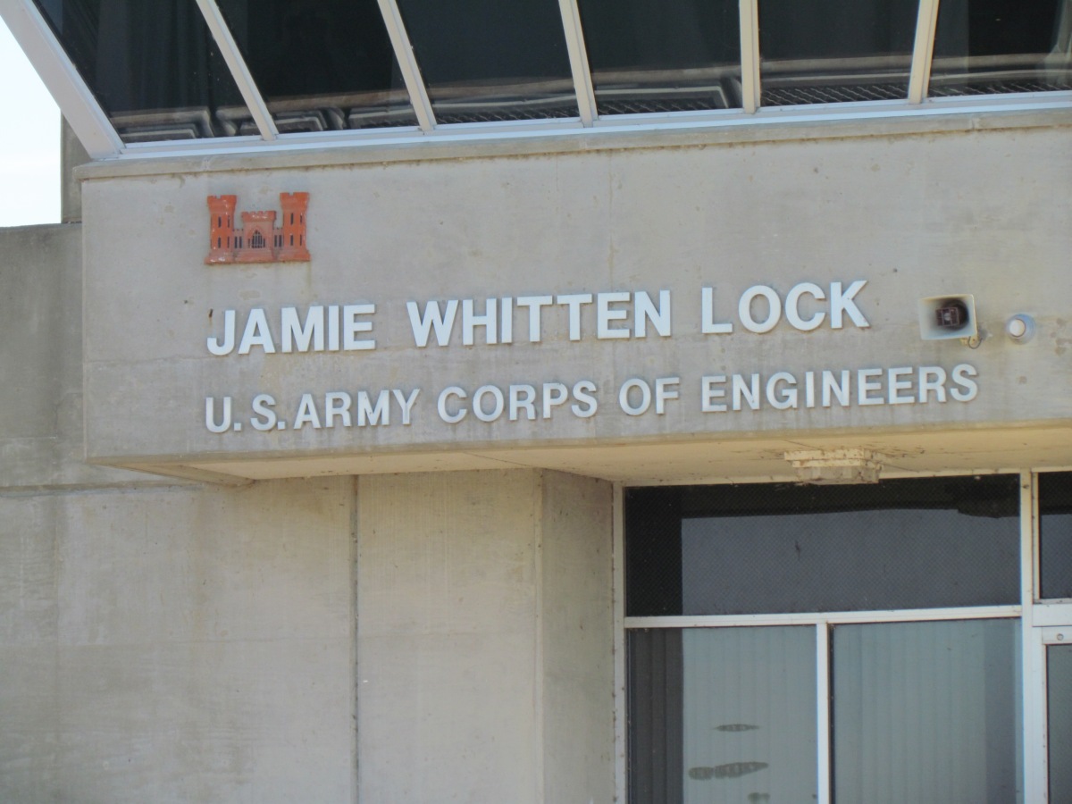
Jamie Whitten Lock and How We Transit a Lock

October 4

I have lost count of the locks we have transited but there have been many.  So today for those of you who aren’t familiar with locks, I will show you how we transited Jamie Whitten Lock and Dam.

                                  Image result for jamie whitten lock and dam

Entering the lock

We are approaching Jamie Whitten Lock and at this time we will contact the lock requesting transit.  Sometimes we are able to enter the lock immediately, sometimes we have waited for hours.  Some people have waited days when the lock is going through a major repair.  Commercial vessels have priority over pleasure boats, although our experience has been either, the lock master has asked a tow to wait for the pleasure boats to go through, or the tow captains have told the lock to take us first.  However, if a tow is in transit, it is usually quite a wait.  As we are a sailboat we usually have to circle, anchor or with permission tie off on a wall. 
The lock will either call us or sound a horn as well as give a green light when we can enter the lock.  Prior to entering the lock we usually determine whether it will be a port or starboard tie off.  Locks can either have floating bollards or a fixed bollard to secure your boat.  A floating bollard moves with the water level and a fixed bollard doesn’t move and you may need a lot of line to accommodate the change in height.  
                             
Floating bollard

Fixed bollard

Depending on what part of the river you are on, the lock will either raise or lower the water level.  At this time on the Tenn-Tom we are descending in elevation so the water level will drop.  Jamie Whitten Lock has (on our route) the largest decrease with an 84 foot drop. 
As you slowly enter the lock you find a bollard to tie off and secure your boat.  We have found most of the locks we have visited have floating bollards, which are preferred by most boaters.  You are actually not tying off your boat, but wrapping a line around a bollard, then holding on to the loose or bitter end.  This is done so you can quickly free your boat should there be a problem.  A frozen bollard is a good example.  We have experienced floating bollards that have momentarily frozen.  You do not want to be secured to a bollard with a rapidly rising or dropping water level.  Having a sharp knife is also handy to quickly cut lines to free your boat. 
   
Bruce is holding the loose end.  

This is the gate we came through, notice the before and after pictures.  This is the before picture.

Once your boat is positioned at the bollard, we notify the lock master that we are secure.  Usually around this  time they will begin to close the door.  The other gate is closed when you enter.  Now we just wait, Bruce is usually holding the midship line and I am fending the bow off the lock wall. 

An after picture, notice how high the wall is.

This is the gate we will be exiting.  Notice the difference in height from the first picture of the gate (above).  

When the lock has obtained the water level necessary, the exit gate will open.  We stay secured to the wall until the lock master sounds the horn or gives permission to leave.  At that point we continue on our way, another lock behind us!


Good bye and thank you to Jamie Whitten Lock and Dam


On to Aberdeen, MS on Tenn-Tom Waterway to wait out tropical storm Nate~~~~~→

Thursday, October 5, 2017

Back to Chasing Summer


This is what Bruce does when he is landlocked and waiting for a pizza.


We are in the water and back to chasing summer and loving it.  It was getting a little chilly up north.  A little update, we didn’t abandon our plans, but we needed to slow down to avoid the hurricanes that pushed through.  So we arranged to have our bottom painted at Lee Spry Marine in Iuka, MS.  He came with good recommendations and lived up to the reviews we read.  We had a barrier coat, anti-fouling paint, a center board glassed in, a couple of dings repaired and the waterline raised to accommodate the extra weight due to provisioning for long term cruising.  Bill did an excellent job of matching our gel coat to repair the dings and it is very difficult to see where they are.  Excellent work and we will go back when we need a new bottom job. 

We headed south on the ditch as the locals call it, also known as the Tennessee-Tombigbee Waterway. 
Image result for tenn tom waterway the ditch
This waterway is an amazing feat of engineering.  The Tenn-Tom is a 234 mile man-made waterway that extends from the Tennessee River to the junction of the Black Warrior-Tombigbee River system near Demopolis, Alabama.  Under construction for twelve years by the U.S. Army Corps of Engineers the Tennessee-Tombigbee Waterway was completed in December 1984 at a total cost of nearly $2 billion.  Wikapedia   
                           Image result for tenn tom waterway aerial view
                            Google
The Tenn-Tom is the largest building project in the history of the US Army Corps of Engineering!  It is over five times longer than the Panama Canal, and required the moving of over one-third more earth!!  The Tenn-Tom is one of the few man-made structures seen from an orbit of the earth with the naked eye!!!  The Great Wall of China is also one of them. 
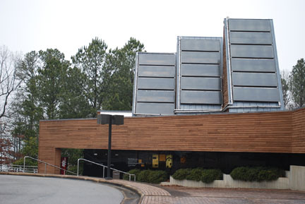
We spent the night anchored nestled in a cove off the waterway at MM 412.1 near Cotton Springs.  We were the only boat in the anchorage in a park near the Tenn-Tom Visitors Centers.  Unfortunately I lost the pictures of our beautiful anchorage. The visitor’s center is well worth the visit with lots of information about the Tenn-Tom.  They also provide a dinghy dock. 
                            Image result for Bay Springs visitor center    

Stay tuned, the next post will focus on the locking process for the uninitiated. 

On to Whitten Lock~~~~~~~~~~